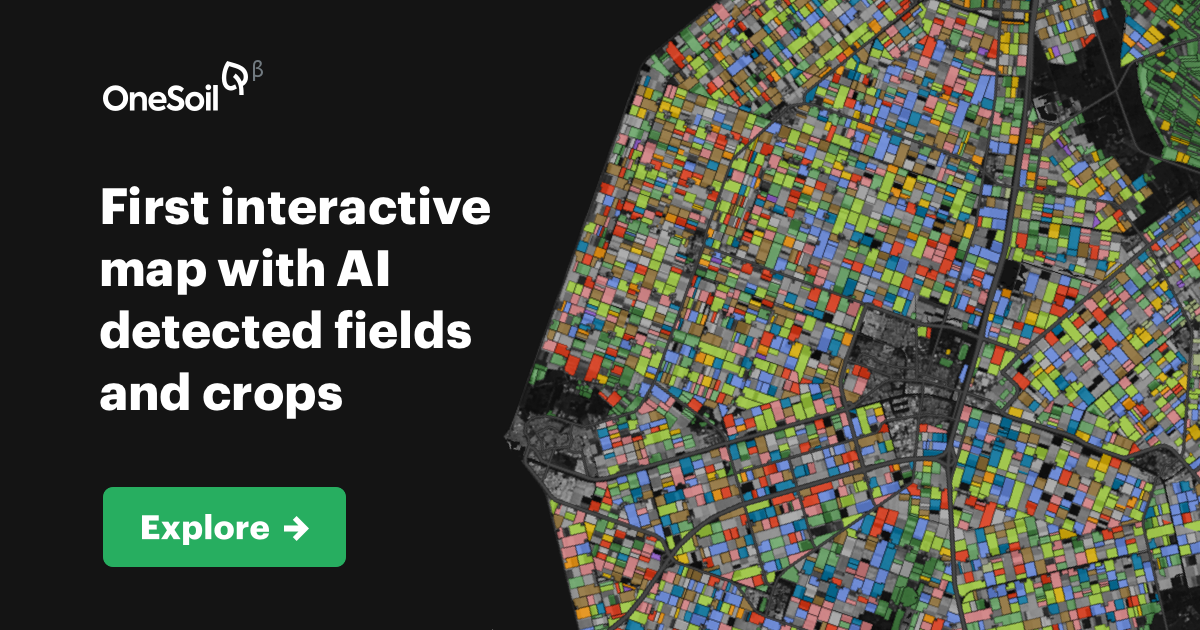
OneSoil Map Logo

OneSoil Map

OneSoil Map is an interactive web and mobile platform for field and crop monitoring that leverages satellite imagery and AI to detect and analyze fields and crops across Europe, the USA, and beyond. It provides farmers, agronomists, and advisors with insights on plant health, crop growth via vegetation indices like NDVI, field weather monitoring, and the ability to create notes to assist with farming operations. The platform supports exploring and comparing crop production trends globally, assisting stakeholders such as farmers, crop consultants, dealers, students, and curious users.

platform:web platform:ios platform:android pricing:freemium form:web-app form:mobile-app feature:ai-powered feature:satellite-imagery feature:crop-monitoring feature:field-mapping feature:vegetation-index feature:weather-monitoring target:farmers target:agronomists target:crop-consultants target:students

Features

AI Powered
Satellite Imagery
Crop Monitoring
Field Mapping
Vegetation Index
Weather Monitoring

Images & Screenshots

OneSoil Map Image
OneSoil Map Image

Testimonies

No testimonies available for this tool yet.

Basic Info
  • Category Agriculture
Availability & Pricing
  • Pricing Model
    Freemium
AI Curation
  • Related Tools Agent detected 10 related tools for

    8 months ago

  • Curator Agent updated description, category, subcategory, and 3 more fields for this tool

    10 months ago